
Our Services:
At Vertical Vision 360, we combine cutting-edge drone technology with AI-driven analytics to deliver high-quality aerial solutions tailored to meet the needs of our clients. Our team of certified pilots, fully insured and highly experienced, ensures precision, safety, and efficiency in every project. We serve industries including construction, utilities, real estate, infrastructure, and telecom, providing actionable insights that drive smarter, safer, and more cost-effective decisions.
Our Services Include:
Aerial Inspections
Our drones perform safe and efficient inspections of hard-to-reach areas such as rooftops, construction sites, overhead topographies, towers, and industrial equipment. This reduces risk for personnel while providing high-quality, actionable visual data.
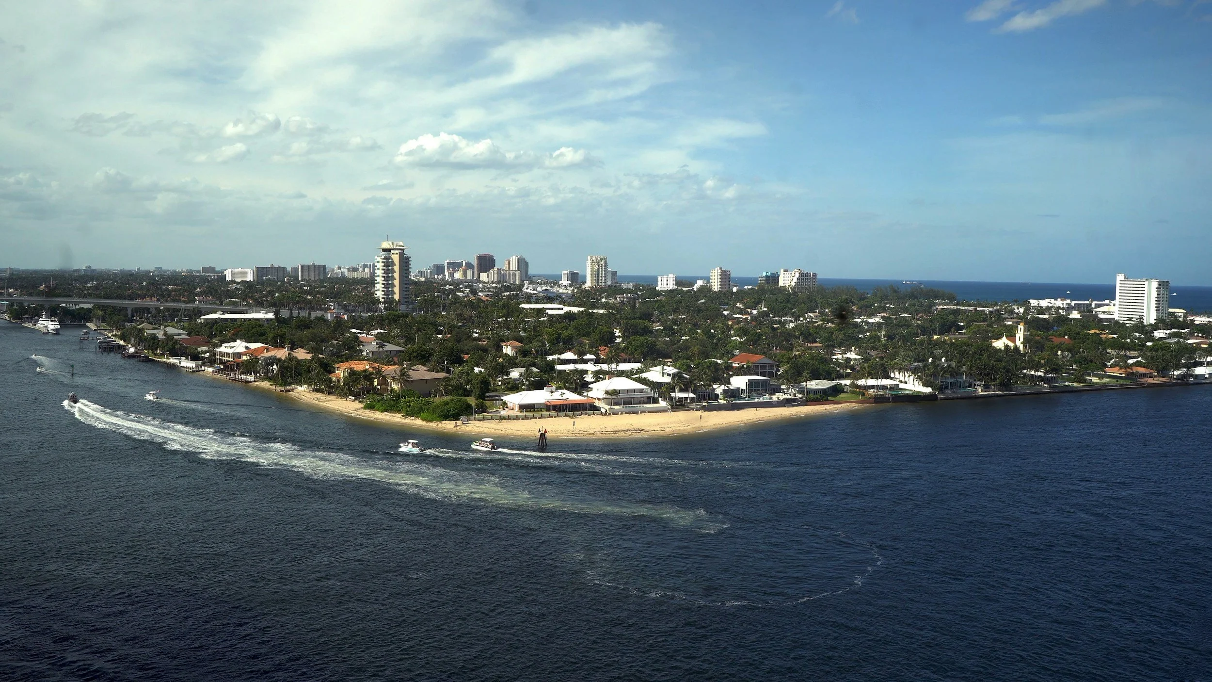
Civil and Residential Development by aerial videography and photography.
Onsite equipment and asset tracking by aerial photography.
Crane boom inspections.
Insurance Inspections.
Pre and Post Hurricane aerial documentation
Precision Mapping
Using advanced drone sensors and AI analytics, we create accurate, high-resolution maps for site planning, topography, survey analysis, and asset management. Our mapping solutions streamline workflows, improve accuracy, and reduce the need for manual labor.
3D Imagery & Photogrammetry
We generate detailed 3D models and point clouds of terrain, structures, and assets for engineering, construction planning, and inspection purposes. This service allows for precise measurements and informed decision-making without disrupting operations.
High-Resolution Photography & Videography
Capture stunning aerial visuals for marketing, documentation, or operational analysis. Our high-res photography and videography provide detailed imagery for presentations, reports, and media production.
Custom Real Estate photography and aerial videography. Looking for a custom 3D image of your property? Call us for our available options and packages.
Golf Course and Country Club Fly Overs
Hole by Hole fly overs showcasing your course design and the layout of each hole.
Professional voice overs describing each hole with its yardages and hazards.
Aerial photography of your club house and club amenity areas.
AI-Powered Data Analysis
We use advanced AI tools to analyze aerial data, turning raw images and mapping information into actionable insights. This allows clients to make data-driven decisions, identify risks, and optimize operations.
Cost-Effective Solutions
Our services are designed to reduce operational costs, save time, and improve safety. By leveraging drones and automation, we help clients achieve their objectives more efficiently.
Contact us for your free consultation and allow us to provide a custom quote tailored to your project needs.
Custom Package Needs
We have the ability to customize any package for your needs. Regardless of the task or the job, simply contact us with your request and project needs and we put a proposal together to present to you and your team.
Why Choose Vertical Vision 360?
Certified, insured, and experienced drone operators
Cutting-edge technology and AI-driven insights
Industry leading software for processing images, maps, 3D orthographies, and seamless video editing
Client-focused approach with responsiveness and reliability
Solutions designed for safety, efficiency, and measurable results
-
Custom packages tailored to your project needs
-
Complete mapping and photogrammetry packages that are custom fit to your project needs.
-
Packages starting at $139.00
No results found
Contact us:
We look forward to hearing from you. Please fill out the information to the right and we will gladly get back with you at our earliest convenience.